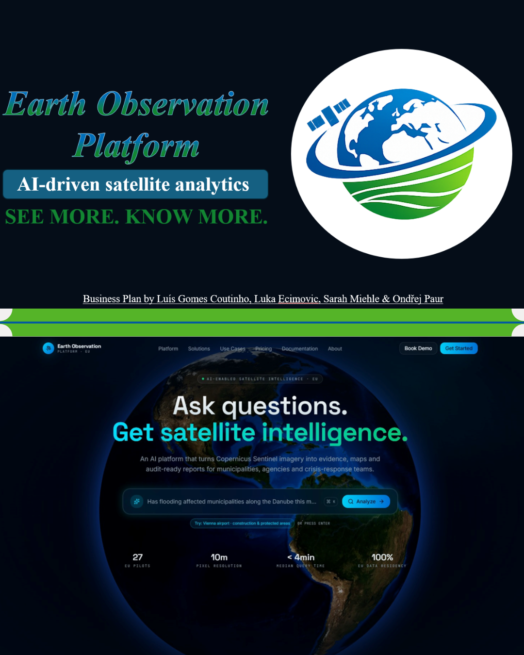


Earth Observation Platform: AI satellite intelligence for the public sector
Earth Observation Platform is a proposed startups’ solution. Earth Observation Platform is a cloud-based software service that turns satellite data into clear, decision-ready answers for public authorities across the European Union. Municipalities, regional agencies, environmental departments and crisis-management units often have pressing monitoring needs but no in-house Earth observation specialists. The platform closes that gap. A user asks a question in plain language, for example whether a flood has affected a district, where new construction has appeared near protected land, or which areas face rising heat and drought risk. The platform selects the right data, runs the analysis and returns maps, indicators and a short report, each accompanied by its data sources, method, confidence level and limitations. The first release focuses on four use cases that match real public-sector responsibilities: crisis and damage assessment, urban expansion and construction monitoring, deforestation and biodiversity monitoring, and climate-risk dashboards for municipalities. By default the platform runs on free and open Copernicus Sentinel data, buying commercial imagery only when a task needs higher resolution or faster revisit. This keeps entry-level pricing affordable for small municipalities while giving technical teams advanced dashboards, exports and API access. Rather than competing with satellite operators on data ownership, Earth Observation Platform positions itself as the usability and evidence layer between open satellite data and everyday public decisions: accessible to non-specialists, auditable enough for contested decisions, and aligned with European data and compliance standards.